Plans, Reports, Mapping & Monitoring

Fire Implementation Plans & Reports

Planning and Documenting Burns

FFEC has extensive experience in developing Fire Implementation Plans (FIPs) for landscape scale properties within Queensland, Northern Territory and Northern Western Australia. FIPs that FFEC provide for individual burns carried out are site specific and include the implementation methodology and are accompanied by a comprehensive site specific risk analysis. All of our reports include where relevant: maps and interpretation, explanation of the fire strategy used, incendiary device rate of delivery, photographs and recommendations for the following fire season.

Burn Plan Development & Property Assessments

Large and small scale property consultation and plans

FFEC can determine how complex or simplistic your burn plan needs to be to achieve your goals. For large scale and complex projects FFEC utilises consultants from our affiliated companies to develop burn plans. 

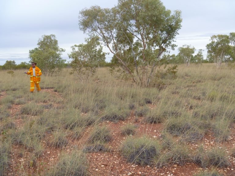
FFEC consultants are highly experienced in conducting property assessments to provide advice on burn plan development. Assessments include but are not limited to fire history of the property; fire scar interpretation; mapping and photo monitoring; ecological, economic and safety objectives; carbon abatement objectives; Key Fire Response Species; determinants of fire behaviour; fire technique and strategies to be employed.

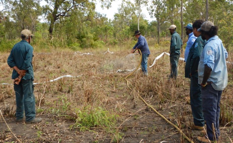
FFEC also conducts property assessments throughout the fire season to provide support and advice to land-managers on how to interpret burn plans and programs for effective operations. Assessments include a document and resource review, consultation with stakeholders and development of burn strategies and implementation plans that are timely and responsive to the current property or landscape conditions.

Fuel Hazard Assessments and Reporting

Aerial and onground fuel surveys

Our FFEC fire practitioners and burn management planners are highly experienced in assessing fuels and determining overall fuel hazards.FFEC employ widely used methodology and a structured approach to assessing fuel types, arrangement, and predicting the likely timing of fuel removal. We can tailor your assessments to effectively identify priority areas and use a combination of resources to guide optimal location for sampling/recording. We specialise in assessing remote areas to determine an effective approach to achieving ecological outcomes and we sample using both vehicle and helicopter to ensure sites that are representative of the entire area are considered in overall risk ratings.

Close Menu